
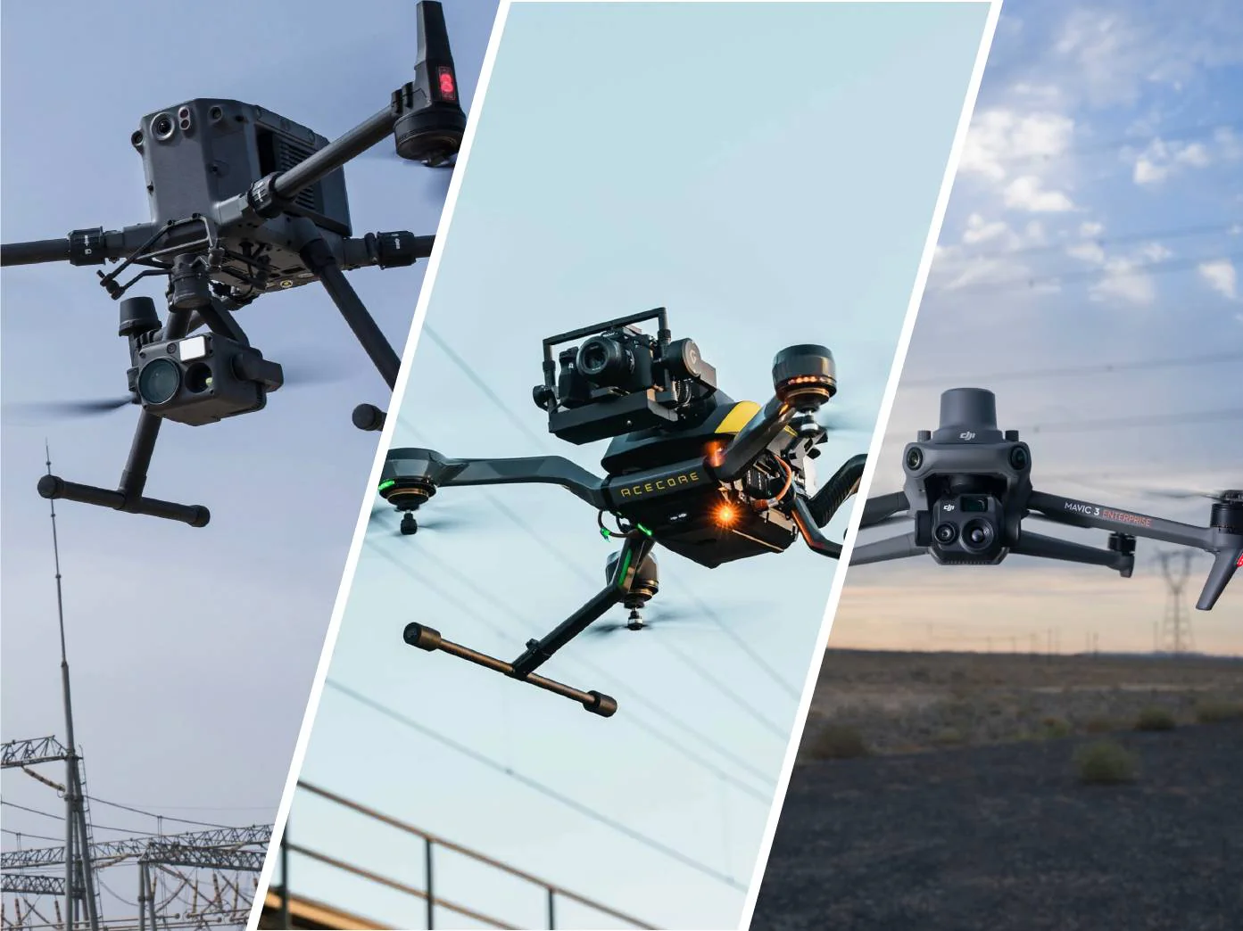
We use advanced DJI Mavic 3M and DJI Matrice 30T drones that enable visual, thermal, and RTK-accurate recording, mapping, and terrain analysis with superior efficiency and safety. In cooperation with partners from Agro Let d.o.o we also provide crop, orchard and vineyard spraying services with the DJI Agras T16 drone.Also, together with the Agro Let team, we provide shading services for greenhouses, barns and industrial plants using a specialized tool.
Why choose DragonFly for drone inspection and mapping?
We use cutting-edge technology and expertise to provide you with the most accurate aerial inspections, mapping and analysis with thermal and multispectral drones. Safe, fast and efficient!
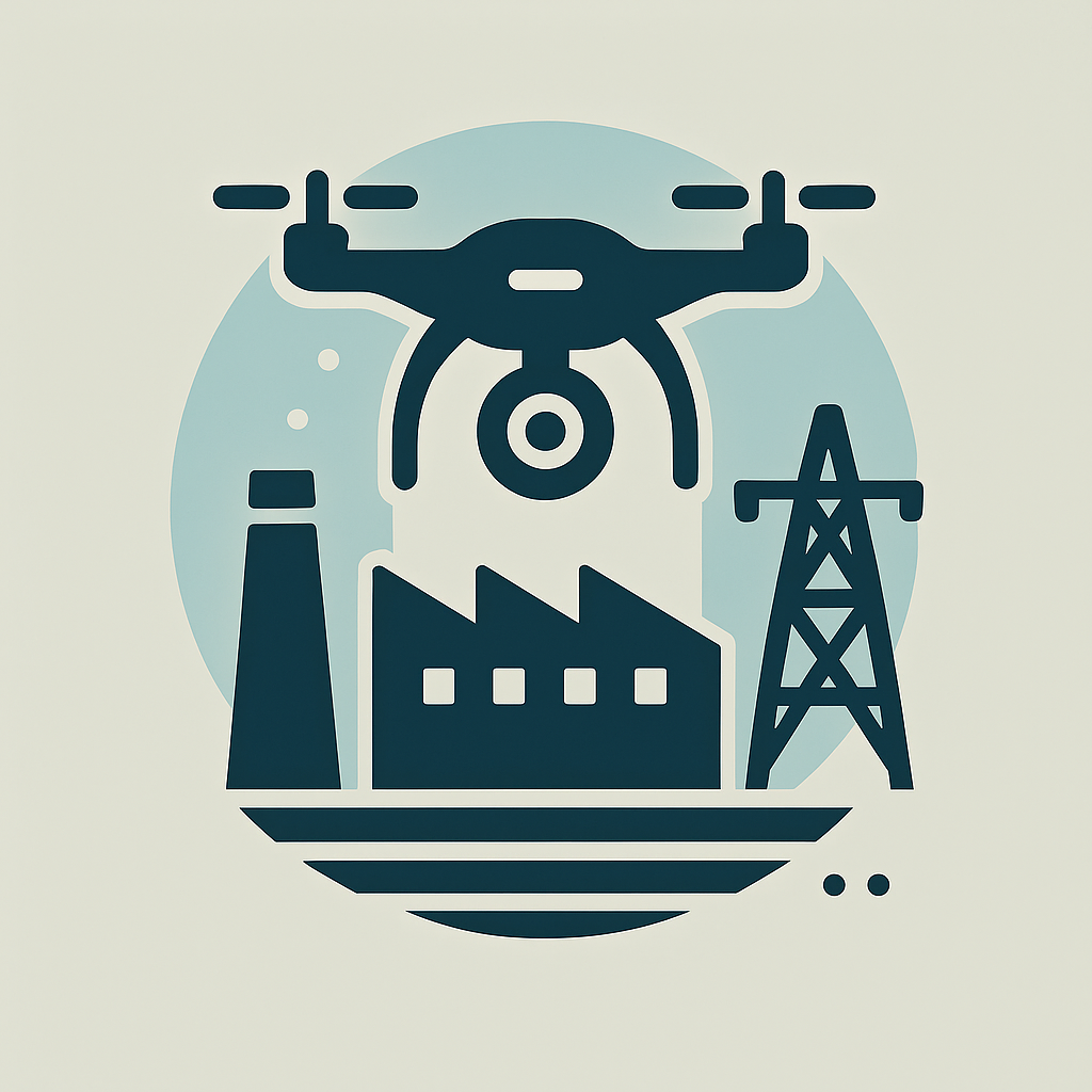
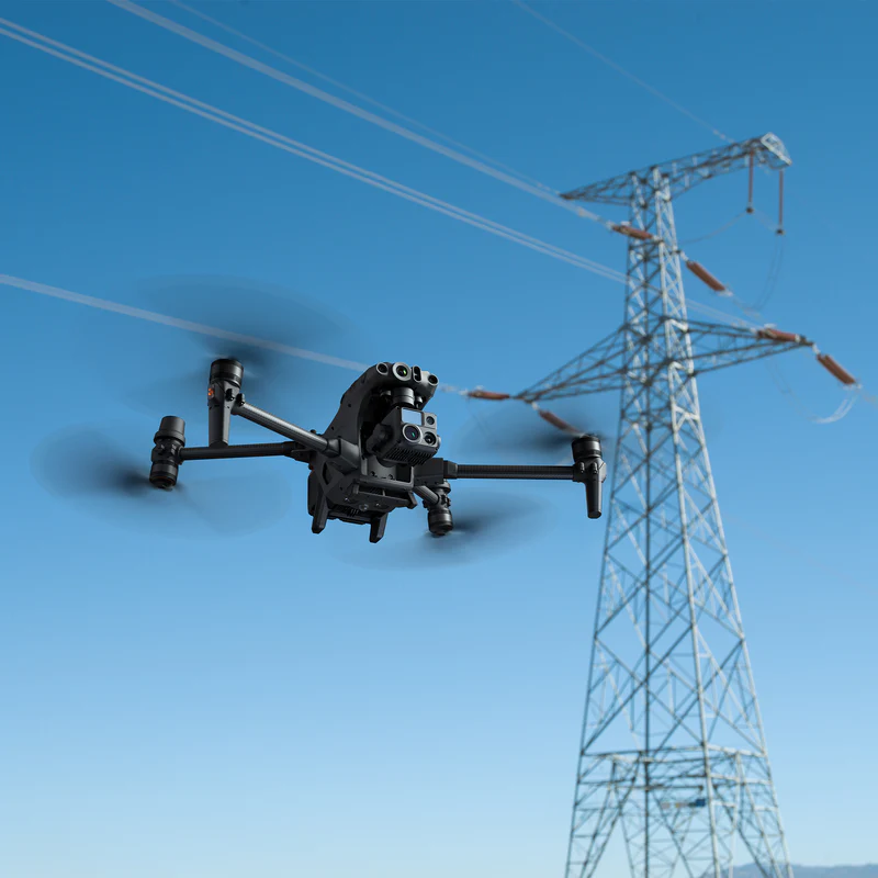
Industrial inspection and analysis
We use drones for visual and thermal inspection of solar power plants, transmission lines and telecom towers.
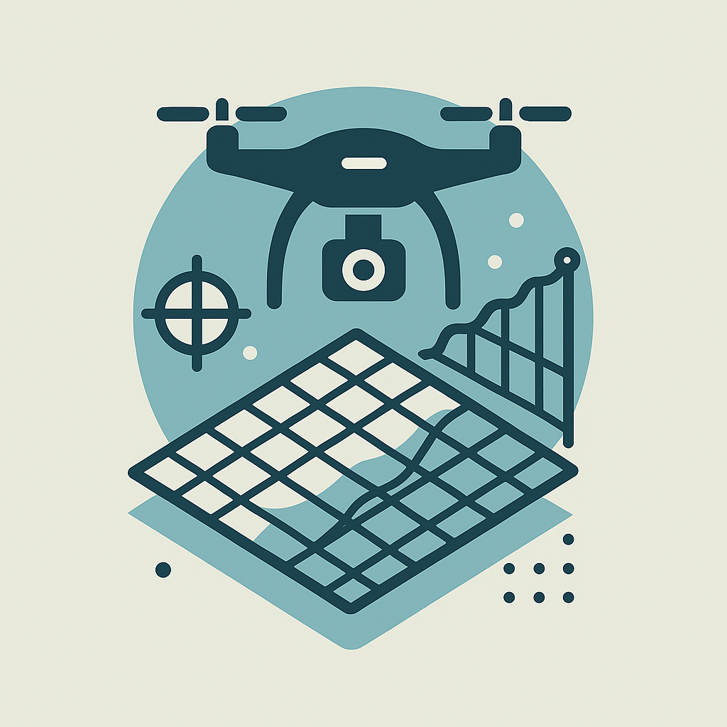
Mapping
3D, multispectral and orthophoto terrain mapping with RTK positioning provides detailed data for various industries.
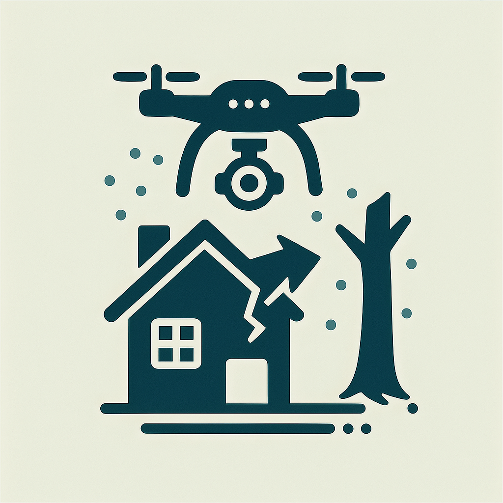
Recording for the purpose of collecting damages
Visual and thermal inspection of buildings, crops, and terrain after disasters for damage assessment and insurance collection.

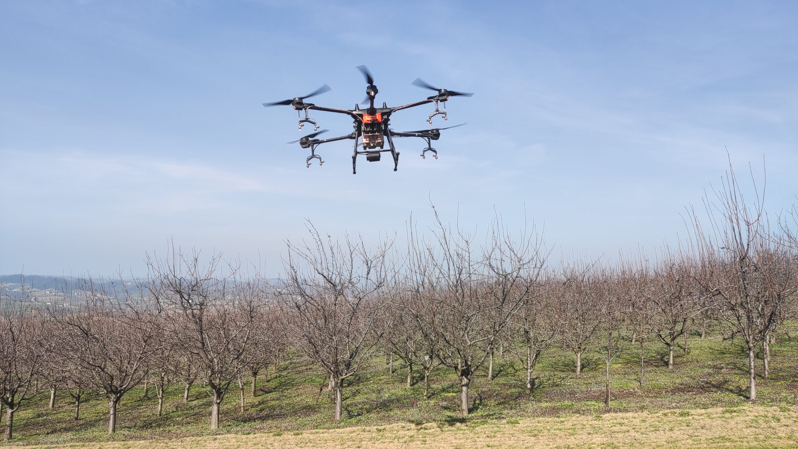
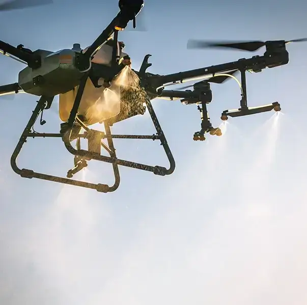
Agricultural mapping and spraying
Detailed analysis of crops (NDVI), orchards and vineyards with the possibility of precise spraying by drones.
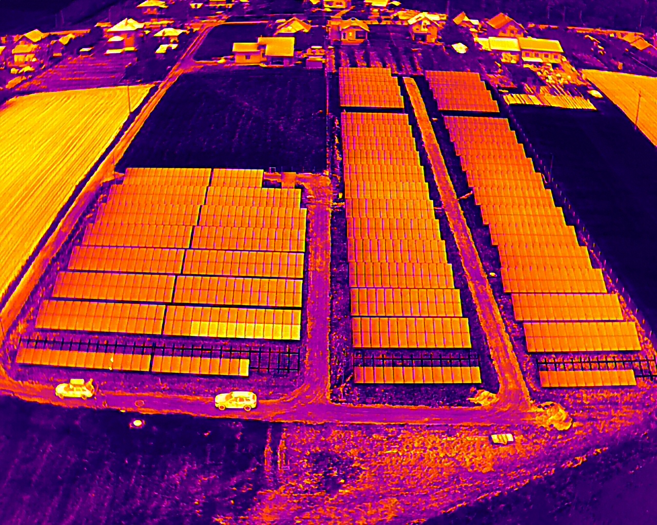
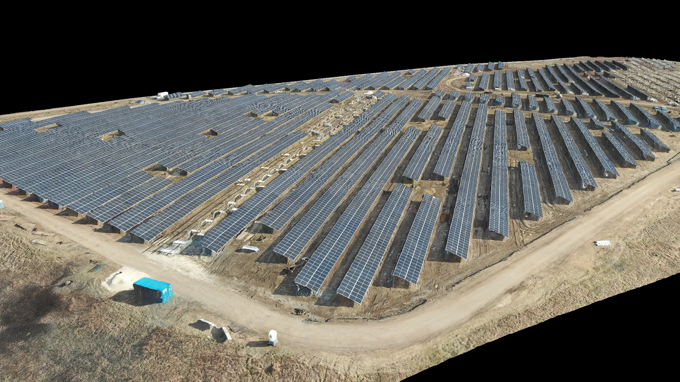
Thermal imaging inspection of solar panels (PV)
Improve the performance of solar power plants with thermal imaging drone inspection.Using advanced thermal cameras, drones accurately detect hot spots, faults, faulty strings, bad connectors and other inefficiencies in PV systems. Detailed reports prepared according to the international standard IEC 62446-3 enable quick diagnostics and maintenance planning, which achieves maximum energy efficiency and longevity of the equipment. As part of the processing, we also apply methods of thermographic analysiswhich increases the accuracy and reliability of the results. Reduce DC losses, avoid costly downtime and technical interventions - all with safe, efficient and fully documented aerial photography, with a clear view of the condition of every panel and every string.
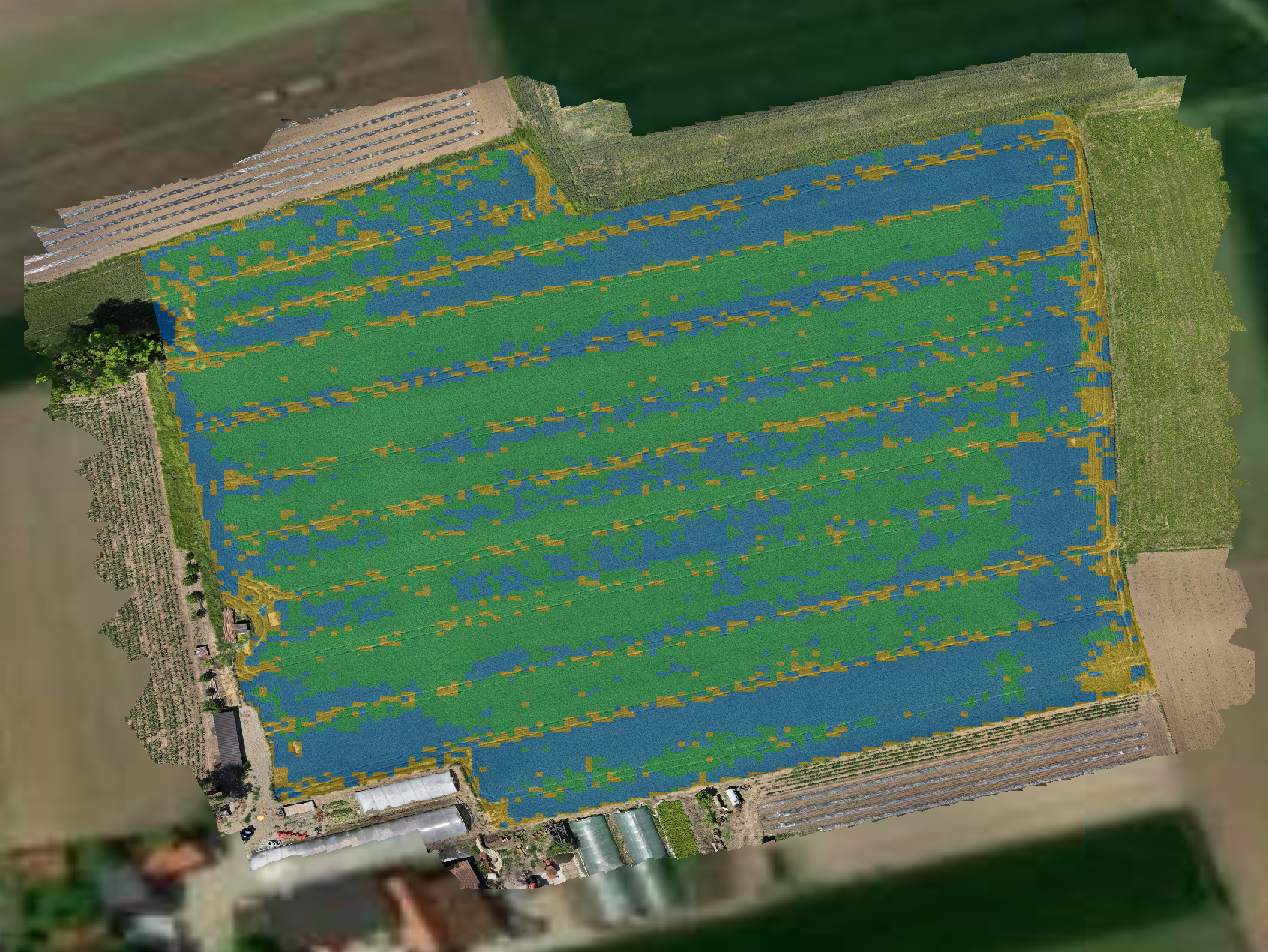
Precision agriculture
Rely on visual and multispectral aerial imagery to spot crop problems early – before they become losses. Drones record the entire plot in a short period of time, and the analyzes (NDVI and other vegetation maps) clearly show where the crop is lagging behind in growth, where there is a lack of plants, where there are pests, weeds or the consequences of drought, hail and excessive moisture. Based on this data, we create maps for targeted fertilization and treatments, so you only use chemicals and fuel where you really need them. That's how you increase yield and reduce costs, with decisions based on data, not gut feeling. With visual records and clear zones of crop condition, you can more easily plan agrotechnical measures, react in time and monitor progress throughout the season. We adapt the service to both smaller and larger producers, from a few to hundreds of hectares, in Serbia and Bosnia and Herzegovina.
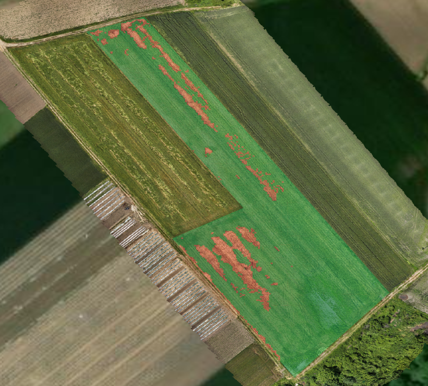
Determining damage to crops
Quickly and accurately identify damage to crops with aerial drone photography. High-resolution imagery and multispectral imagery from drones make it possible to clearly see the extent of damage after hail, storms, floods, drought or pest attacks. Based on the collected data, we create detailed georeferenced reports that show the exact area and intensity of damage, which facilitates communication with insurance companies and speeds up the collection process. The analysis is performed without trampling the crops and without wasting time visiting the plots, with maximum accuracy and neutral, verifiable documentation.
Orthophoto mapping and 3D modeling
We offer precise orthophoto mapping and creation of 3D models by drone, ideal for planning, designing and recording the conditions in the field. You get accurate, georeferenced data for urban planning, construction, agriculture and other sectors. With advanced data processing and integration into GIS systems, we create layered maps and digital models suitable for analysis, measurements, monitoring of changes and planning of subsequent activities. This enables clients to make better decisions, optimize the execution of works and reduce total costs. Through high-quality orthomosaics, 3D reconstructions and terrain views, you get reliable documentation - ready for further use in DWG, KML, SHP and other professional formats.
Why hire a professional drone operator?
Using the services of a licensed drone operator provides accurate, safe and legal solutions for technical inspections and mapping - without the need to invest in expensive equipment and team training.
Professional operators possess advanced technology and approvals to perform aerial surveys in compliance with regulations. This enables faster analysis, better information and lower costs of project maintenance or development.
Whether you need inspection of solar power plants, power lines, construction site monitoring or geodetic mapping - drone services deliver accurate, fast and reliable results with minimal risk.