
Technical inspections and monitoring
Inspection of solar power plants, transmission lines, wind turbines, towers and construction sites - for early detection of problems and optimization of maintenance.
Find out moreMapping and modeling
Production of orthophotos and accurate 3D models of terrain and buildings for the needs of urban planning, design and construction works.
Find out moreInsurance damage assessment
Recording of damage to crops, buildings and infrastructure, with the preparation of documentation suitable for insurance companies.
Find out moreAerial farming
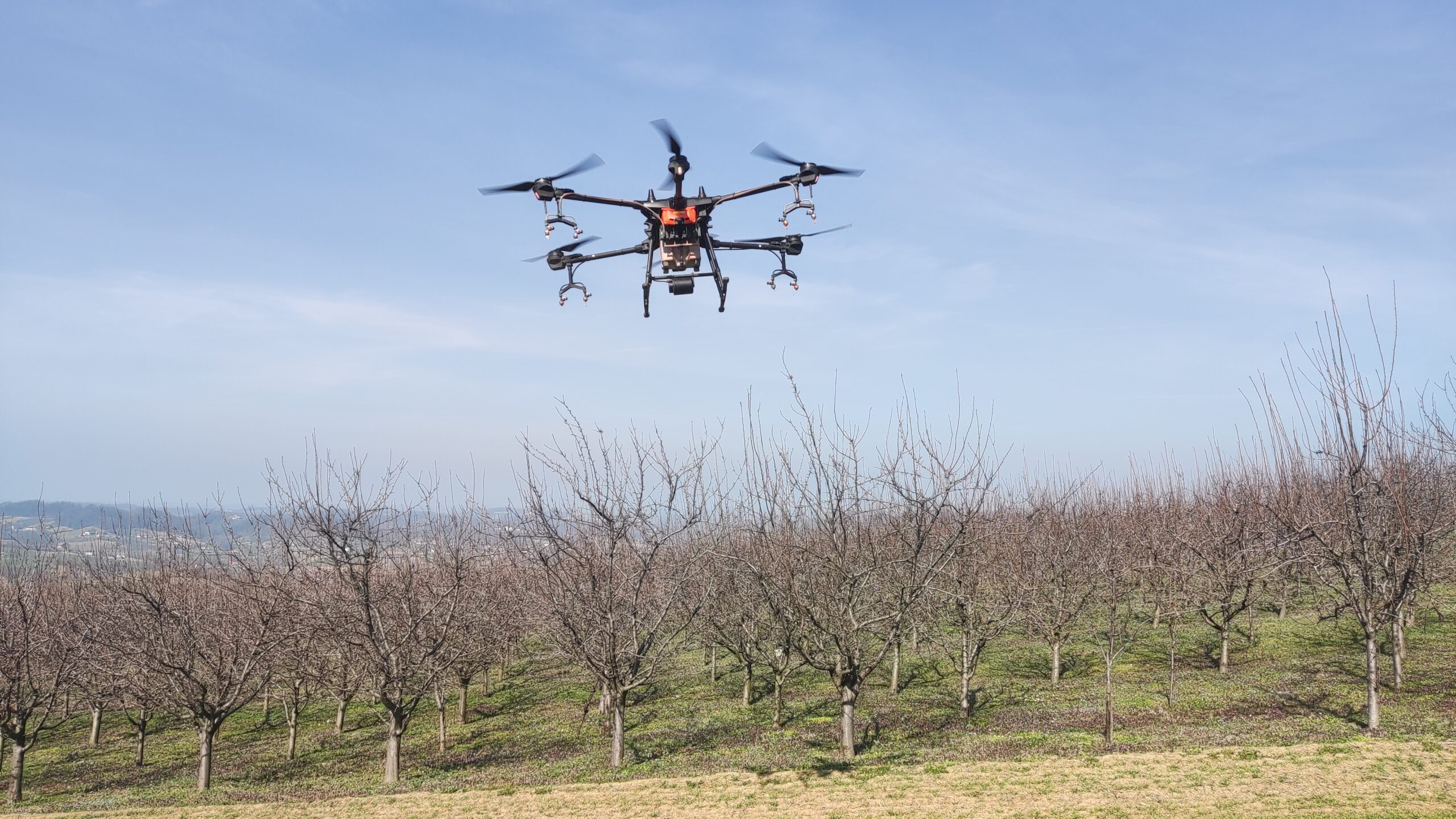
Multispectral mapping and precise spraying by drones enable timely protection and saving of resources on your crops.
Find out moreWhy choose DragonFly?
Our mission is to enable accurate, fast and safe analysis of terrain and objects using drone technology. Through modern equipment and a professional approach, we provide services that help clients make better decisions - whether it's inspection, measurement, mapping or crop protection.
Frequently asked questions
How long does a drone operation take?
Depending on the type of service and the size of the field - usually from 30 minutes to several hours.
How fast do I get results?
Visuals are available immediately, while analysis and processing (mapping, models) takes 24 to 72 hours.
Do you also provide services in Bosnia and Herzegovina?
Yes, we work on the territory of the whole of Serbia and Bosnia and Herzegovina. For more distant locations, we arrange optimal dates.
Can I get the recordings in the format I need?
Yes, you can choose JPEG, PDF, DWG, KMZ, KML and other formats depending on the service.
Do you work for individuals or only for companies?
We work with everyone - companies, private investors, farmers, insurance and other sectors.


Ready to cooperate?
Our team uses modern drones to record and analyze the terrain. Whether it's infrastructure inspection, mapping or damage assessment - we're here to help.
Send us an inquiry and you will receive a free consultation and a personalized offer.
Go to the contact page